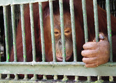
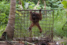
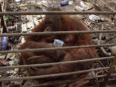
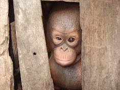
Personal note: I never attach any truth to anything the goverment of Indonesia says regarding rainforests or orangutans. So many lies have been told before that it is impossible now to know if or when they might be speaking honestly.
--------------------------------------------------
The Jakarta Post , JAKARTA | Fri, 03/13/2009
The Forestry Ministry is hoping to continue using sophisticated images from a Japanese satellite to assess the condition of Indonesia’s forests.
The images, developed by the Japan Aerospace Exploration Agency (JAXA) using remote sensing technology, have proven indispensable in developing sustainable forest management practices in Indonesia.
JAXA, however, which has until now provided the images free of charge under a pilot project with the Indonesian National Institute of Aeronautics and Space (Lapan), will be concluding the project this month.
“By using this technology, data on forest resources in Indonesiacan be gathered, processed and displayed accurately,” Retno Sari from the ministry’s Forest Inventory and Mapping Center said on Thursday.
Retno was speaking at a seminar in Jakarta marking the end of the JAXA project.
Under the partnership, JAXA provided images from its satellite, ALOS, for various purposes including the monitoring of forests and coral reefs, as well as land usage.
“There is a possibility this project will be followed up with other similar partnerships, but we are still in negotiations,” Lapan’s remote sensing application and technology development director, Ratih Dewanti Dimyati, said at the seminar.
Lapan, along with several ministries that have benefitted from the satellite images, have expressed their desire to maintain free access to the images, Ratih said.
ALOS produces images at a very high resolution, which provides the ministry with important information such as forest density, she said. The satellite is also capable of producing three-dimensional images.
The Forestry Ministry has been using ALOS imaging to monitor eight forest clusters in Riau, each comprising eight 400 square meter plots.
Forestation issues have become increasingly significant in Indonesia, because its vast areas of unique tropical rainforests have dwindled from over-exploitation, illegal logging and bad management.
According to Global Forest Watch, in round numbers, Indonesia’s forest cover dropped from 162 million hectares in 1950 to 98 million hectares in the year 2000.
T. Osawa of the Denpasar-based Center for Remote Sensing and Ocean Science said the ALOS data had also proven useful in his research on coral reefs in the Badung strait, Bali.
“The results from an accuracy test show that the ALOS classification is 87.16 percent accurate overall “This shows that the ALOS satellite data is good enough to be used in the database for mapping the distribution of coral reefs,” Osawa told the seminar.
Irresponsible human activities and the strait’s decreasing water quality have necessitated a closer monitoring of its coral reefs, Osawa said.
Indonesia is home to 14 percent of all coral reefs in the world, he said.
The reefs, however, face increasing pressures and many areas of reefs have been destroyed. (dis)


-a.jpg)


